Salinas, PR
Cuna del Mojo Isleño
Valley of Salinas
ABOUT
The city is located on the southeast of the tropical island of Puerto Rico. It's the driest region of of the island with average high temperatures between 86-90F. It's 69 square miles and bordered by the rivers Jájome, Jueyes, Lapa and Nigua.
It was founded on July 22,1851 before the island became a territory of the US in 1898. Spanish and English are the official languages. US currency is used. Island residents are US citizens and mainland US citizens may travel to the island without a passport.
Salinas is nicknamed "Cuna del Mojo Isleño" as the city is the birthplace of the traditional seafood sauce called Mojo. It's also known for it's fishing spots and the best seafood restaurants on the island. The Playa neighborhood is great for restaurant hopping.
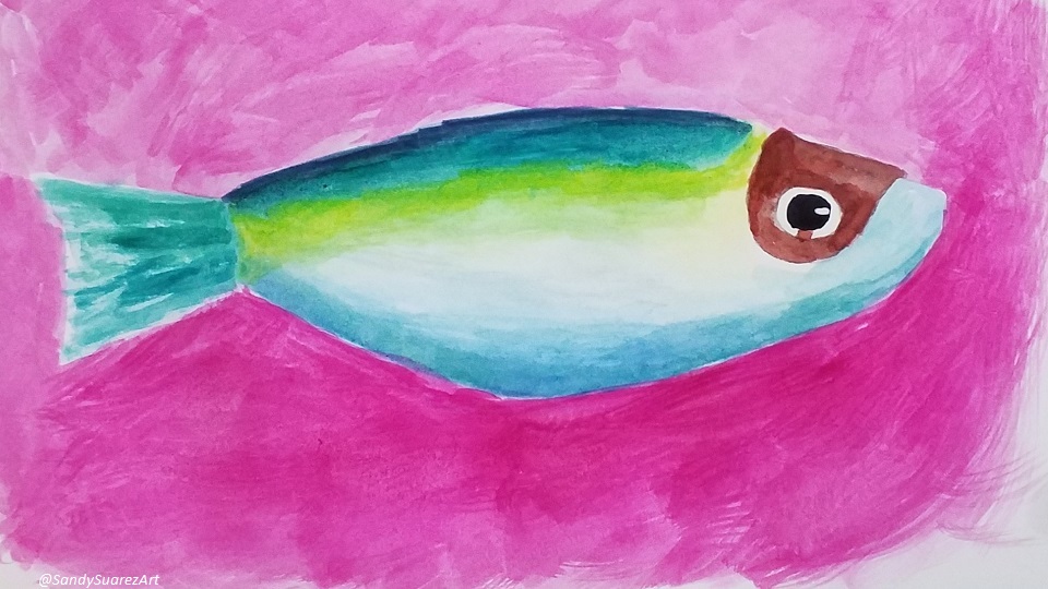
Fresh Fish
MONUMENTS
- Puertorican Jíbaro Monument - Located at the northen munincipal boundary at the rest area on the southbound side of the Luis A. Ferré highway. It's dedicated to the self-subsistence farmers of Puerto Rico.
- Veterans Memorial - Located at the entrance to the city on route PR1 near the entrance to the US military base Camp Santiago. There is a family park with playground across the street.
- Plaza and statute of Pedro Albizu Campos - Located at the intersection of Guayama Street and route 180. He was the leading figue of the Puerto Rican Independence movement.
- Founders Plaza - Located at the intersection of Esteban Ramos Street and Santiago Riera Palmer Street. It marks the area where the first houses were built in Salinas.
HISTORICAL SIGHTS IN DOWNTOWN
- City Hall
- Plaza Las Delicias
- Plaza Mercado
- Palmer School
- Godreau School
- Former Central Aguirre Sugar Mill
- Virgen of Montserrat Parish
Stones of the Pass
OUTDOORS
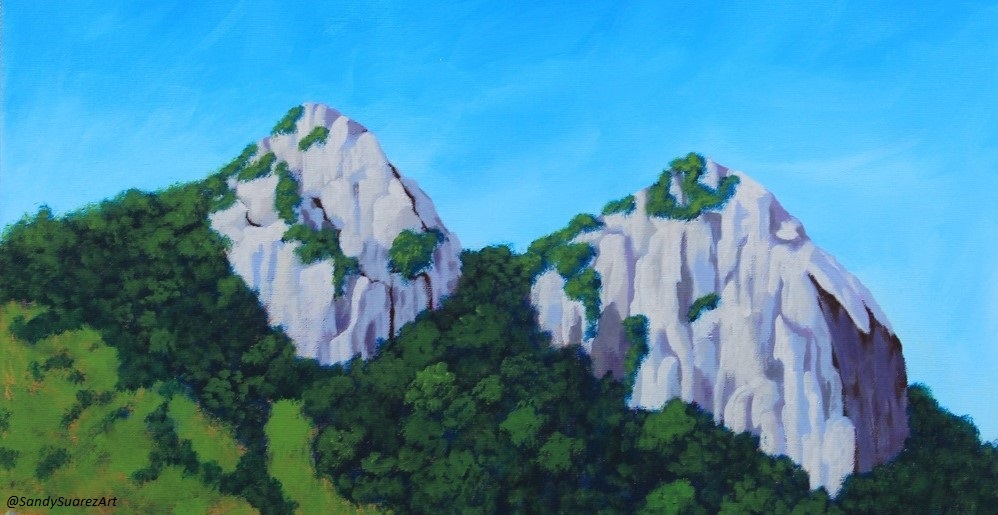
- Yeyesa National Forest - Beautiful tropical forest in the mountains. Entrance to the trail is in the Parcelas Vazquez neighborhood.
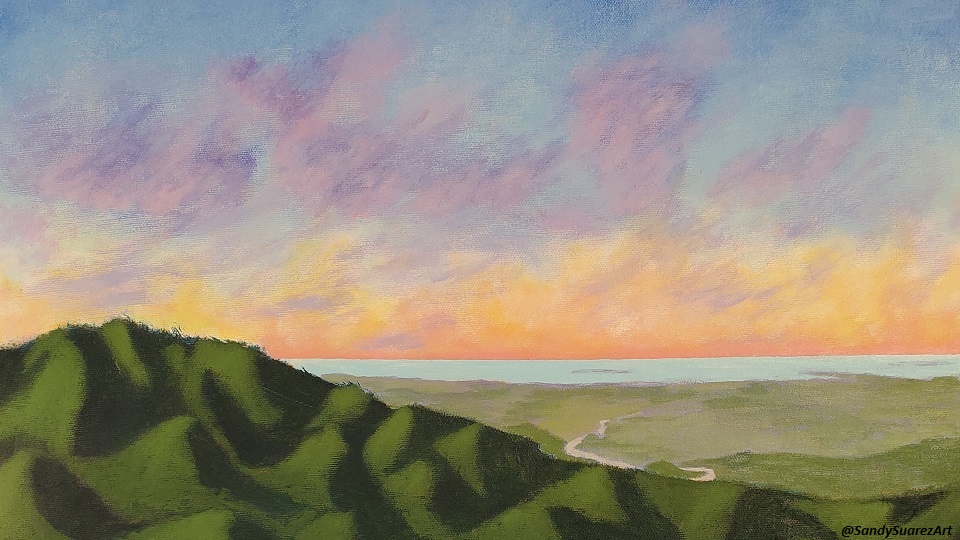
- Stones of the Pass - Located at the northen munincipal boundary on route 1. It stands at 2,756 feet above sea level. Also known as "Cerro las Tetas" due to it's unique resemblance to the female bust.
- Curve of the Reborn Tree - Located right across the the Stones of the Pass. The entire valley of Salinas can be seen there.
- The Lonely Tree - Located in a romote area on a mountain near the Luis A. Ferré highway. Hiking to the area is quite dificult and only recommended for the physically fit. Beautiful views of the Central Sierra.
- Germán Rieckehoff Olimpic Training Center - Includes a Botanical garden, the Puerto Rico Sports Museum and the Olimpia waterpark.
- Cayo Matias - Small beach within mangroves off the coast of Salinas. You can catch a boat ride from the Marina.
- Jobos Bay National Estuarine Reaserch Reserve - Home of 60% of Puerto Rico's manatees. Located at PR Route 705 Km 2.3 in the Aguirre neighborhood.
- Freshwater Well - Nestled in between mangroves and in the middle of salty water sits a fresh water well. Located in the Playa Neighborhood.
- Salinas Bay and Marina - Best sunsets and people watching.
- Coco Beach - Not the best for bathing but a good spot for manatee watching. Located at the Playa neighborhood.
- Las 80 Park - Located across Las 80 neighborhood on Route 1. Great for fishing, picnics and walking. There is a playground there also.
FUN ACTIVITIES
- Olimpic Training Center - Includes a Botanical garden, the Puerto Rico Sports Museum and a waterpark.
- Salinas Speedway - Located east of the city on Route 3. Car racetrack, great for the family motorhead.
- Hacienda Los Maldonados - Located at PR route 1 at km 79.1. Recreated native and late 19th century homes.
- Seashell House - Located in the Playa neighborhood. The owner of the house decorated the entire building, fence and his car with seashells.
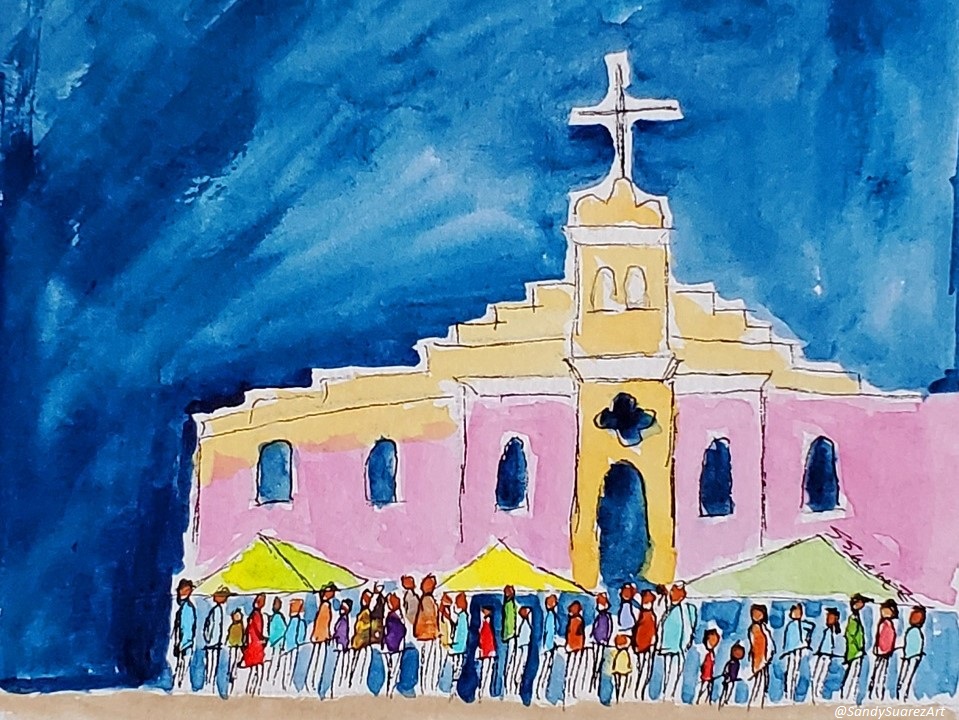
Christmas Festival at Plaza Las Delicias
FESTIVALS
- Three Wise Men Parade - January
- Abey Carnaval - February
- Mojo Isleño Fest - July
- Saint Virgen of Montserrat Festival - September
- Christmas Festival - December
HOW TO GET THERE
- The closest airport is Mercedita in the southern town of Ponce. A quick 20 minute drive east on the Luis A Ferré highway will take you there.
- From the airport in San Juan take the Luis A Ferré highway south. It takes about an hour but the mountain views of the Central Sierra are worth it.
Check out the Wikipedia page for general information and theTrip Advisor page for travel information.